Current Wind Direction
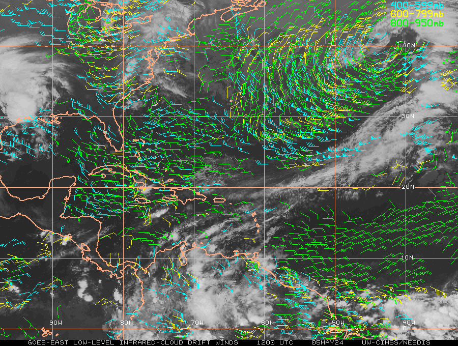
Lower Level Winds
 Upper Level Winds
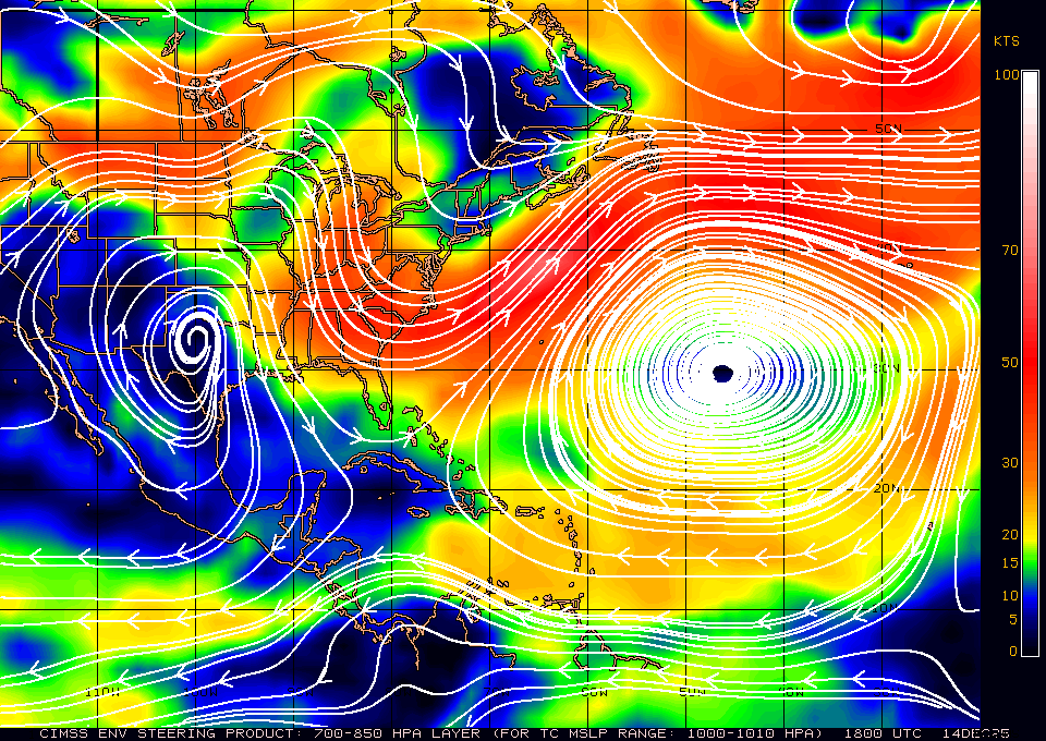
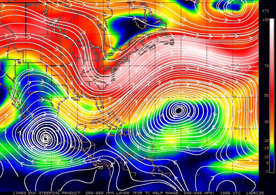
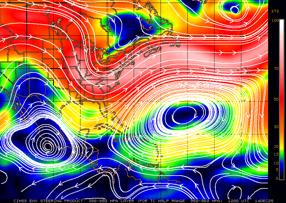
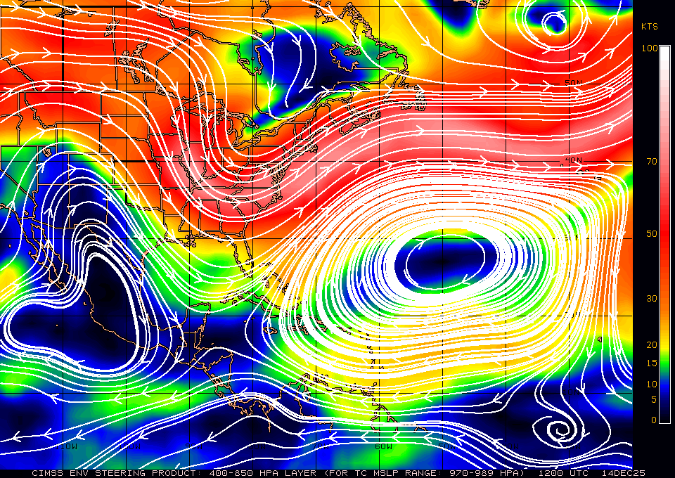
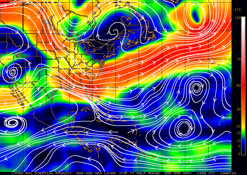
 Layer mean wind steering maps will give you vital information on the direction Tropical Cyclones are possibly going to take based on their current intensity. Check out the current Atlantic mean wind steering maps below...
These wind analyses depict the environmental flow in various oceanic basins for selected tropospheric layer-means. Based on previous studies, the depth of this layer is correlated with the TC steering layer, and generally increases with increasing TC intensity. These layer-mean steering fields are created by mass-weighting mandatory-level, high-resolution wind analyses derived locally at UW-CIMSS using a three-dimensional recursive filter technique. These analyses are strongly influenced by high-density, multispectral satellite-derived wind information. Data from NWP global models provide background field information for each analysis run. Source: CIMSS
So just to give you an idea a very weak Tropical Cyclone will follow the flow steered by the lower level winds (Example 700-850mb) and a very strong Tropical Cyclone would follow the flow steered by the higher level winds (Example 200-850mb). Of course mean layer wind steering is not the only factor in forecasting Tropical Cyclone direction.
Layer mean wind steering maps will give you vital information on the direction Tropical Cyclones are possibly going to take based on their current intensity. Check out the current Atlantic mean wind steering maps below...
These wind analyses depict the environmental flow in various oceanic basins for selected tropospheric layer-means. Based on previous studies, the depth of this layer is correlated with the TC steering layer, and generally increases with increasing TC intensity. These layer-mean steering fields are created by mass-weighting mandatory-level, high-resolution wind analyses derived locally at UW-CIMSS using a three-dimensional recursive filter technique. These analyses are strongly influenced by high-density, multispectral satellite-derived wind information. Data from NWP global models provide background field information for each analysis run. Source: CIMSS
So just to give you an idea a very weak Tropical Cyclone will follow the flow steered by the lower level winds (Example 700-850mb) and a very strong Tropical Cyclone would follow the flow steered by the higher level winds (Example 200-850mb). Of course mean layer wind steering is not the only factor in forecasting Tropical Cyclone direction.
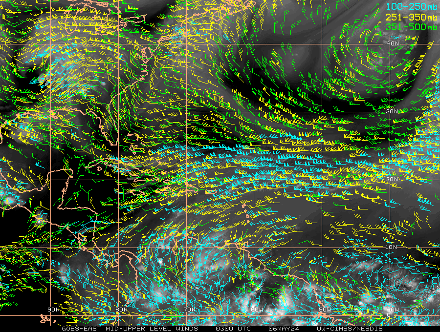
Upper Level Winds
Layer mean wind steering maps will give you vital information on the direction Tropical Cyclones are possibly going to take based on their current intensity. Check out the current Atlantic mean wind steering maps below...
These wind analyses depict the environmental flow in various oceanic basins for selected tropospheric layer-means. Based on previous studies, the depth of this layer is correlated with the TC steering layer, and generally increases with increasing TC intensity. These layer-mean steering fields are created by mass-weighting mandatory-level, high-resolution wind analyses derived locally at UW-CIMSS using a three-dimensional recursive filter technique. These analyses are strongly influenced by high-density, multispectral satellite-derived wind information. Data from NWP global models provide background field information for each analysis run. Source: CIMSS
So just to give you an idea a very weak Tropical Cyclone will follow the flow steered by the lower level winds (Example 700-850mb) and a very strong Tropical Cyclone would follow the flow steered by the higher level winds (Example 200-850mb). Of course mean layer wind steering is not the only factor in forecasting Tropical Cyclone direction.
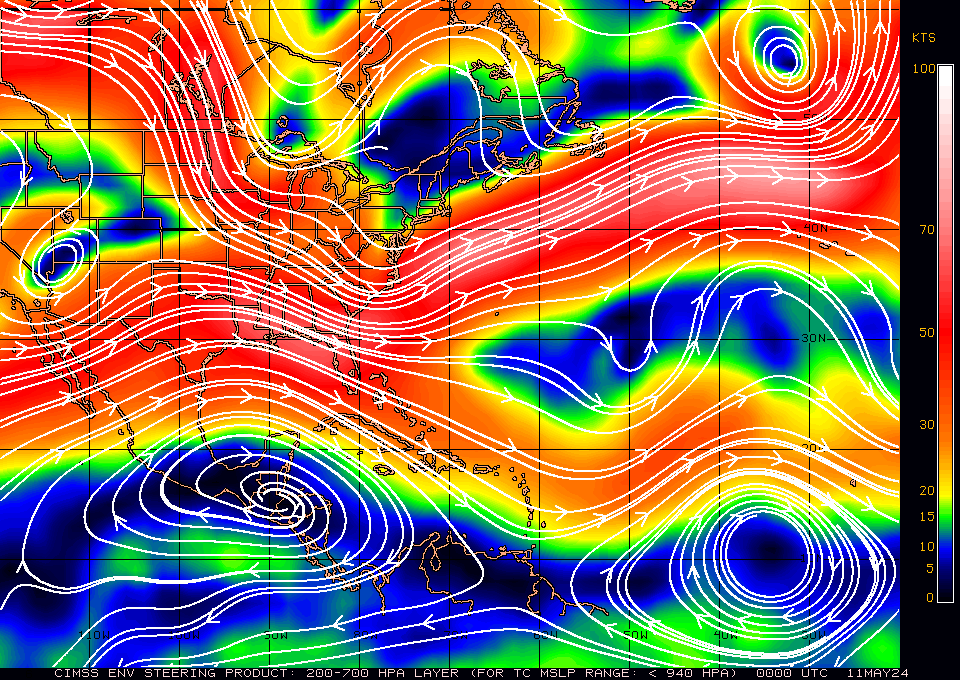
700-850mb
TC MSLP/Vmax: >1000mb/<45kts