
The Saharan Air Layer (SAL) is an extremely hot, dry and sometimes dust-laden layer of the atmosphere that often overlies the cooler, more-humid surface air of the Atlantic Ocean. In the Sahara Desert region of North Africa, where it originates, it is the prevalent atmosphere, extending from the surface upwards several kilometers. As it drives, or is driven, out over the ocean, it is lifted above the denser marine air. This arrangement is an inversion where the temperature increases with height. The boundary between the SAL and the marine layer suppresses or "caps" any convection originating in the marine layer. Since it is dry air, the lapse rate within the SAL itself is steep, that is, the temperature falls rapidly with height.
The SAL has also been observed to suppress the development and intensifying of tropical cyclones. Source: WIKI
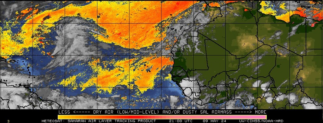
Current Saharan Air Layer
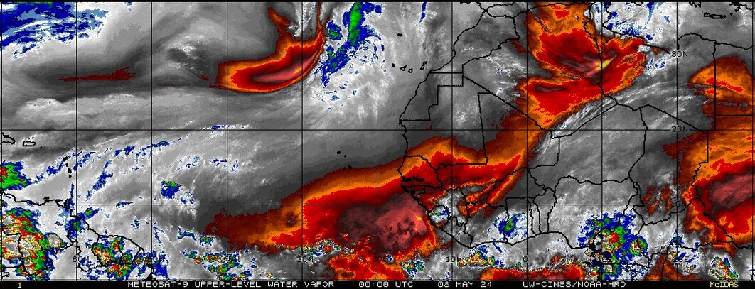
Upper Level Water Vapor
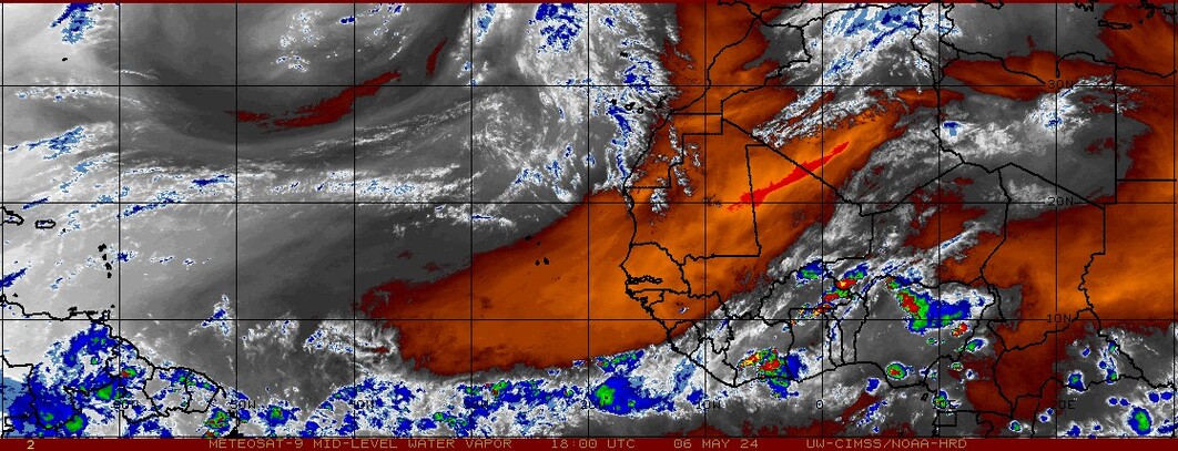
Mid-Level Water Vapor
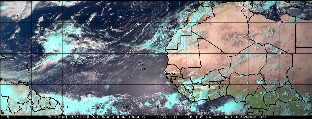
Pseudo Color Image